The Kromme Rijn
To see and experience all the details of the entire region, follow the waters of the Kromme Rijn. It forms the 'common thread' through the Kromme Rijnstreek. The Kromme Rijn formed the northern border of the Roman Empire. It feeds the soil for cherry and fruit growing and along its banks you will find castles and estates and it is part of the New Dutch Water Line. On the western riverbanks, the trading town of Dorestad, now known as Wijk bij Duurstede, was founded. It's a beautiful old town that's well worth a visit, with its lovely old houses and cool shops.
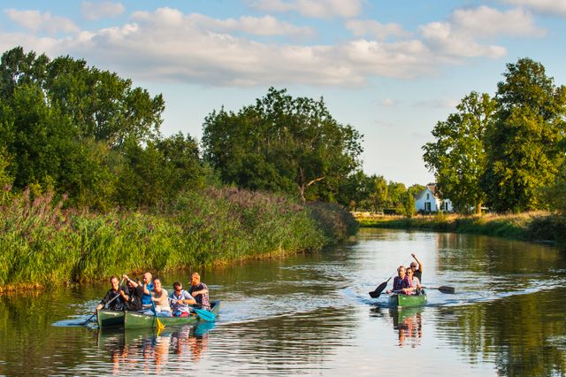
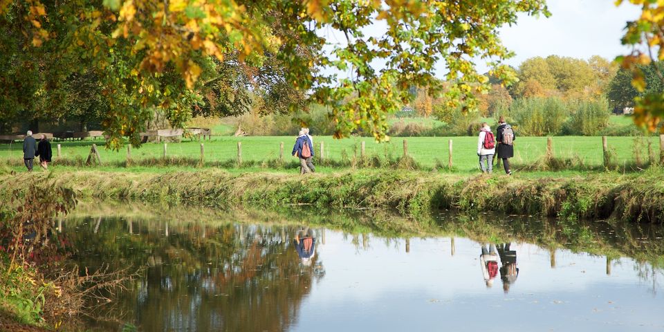
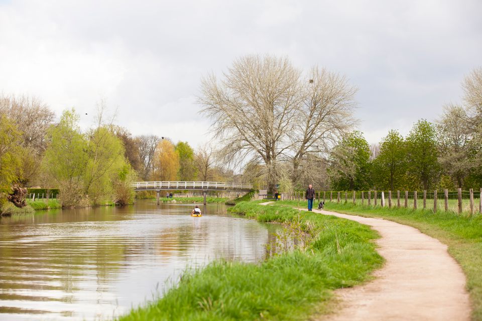
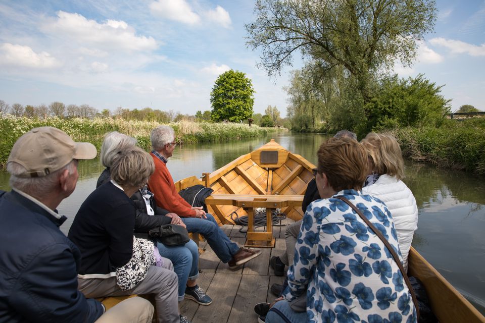
The Kromme Rijn is an important transport route between Utrecht and Wijk bij Duurstede and a great route for cyclists and walkers to follow. In good weather, it's a great place for a picnic or simply a getaway from the hectic pace of modern life. You can rent a canoe at several places and take a trip on the river in the original barge 'de Krommerijnder'. Swimming in the Kromme Rijn is not recommended. Walking, cycling and sailing routes are available from Kromme Rijnstreek Tourist Office.
History
The Kromme Rijn region was established in around 1,000 B.C. The landscape of the Kromme Rijnstreek was shaped by the ever-shifting and meandering river. The higher bank walls were places for people to live safely without getting their feet wet. The river marked the northern border of the Roman Empire, known as the Limes. Later, on the western banks, the trading town of Dorestad, now called Wijk bij Duurstede, was founded.
In 1122, Bishop Godebald commissioned the Kromme Rijn to be dammed at Wijk bij Duurstede to limit the flood risk. After the damming, the river became a vital transport link between Utrecht and Wijk bij Duurstede.
The river knits together the themes of the region: as a northern border of the Roman Empire, as a centre of cherry and fruit cultivation, a landscape element for the castles and estates and a part of the New Dutch Water Line.
Routes along the Kromme Rijn
-
The Kromme Rijn trail
The Kromme Rijn trail
The route not only runs along an old towpath, but also through typical villages, towns and newly constructed paths. Several missing hiking connections were even specially created to make it possible to walk along the Kromme Rijn.
Discover the Kromme Rijn (in Dutch)
-
Ferry Through the Landscape sailing route
Ferry Through the Landscape sailing route
Sail along with the ferry through the Utrecht landscape and discover the Kromme Rijn. The Ferry Through the Landscape shows the most beautiful places on and along the Kromme Rijn (starting from Bunnik).
Sail and discover the Kromme Rijn (in Dutch)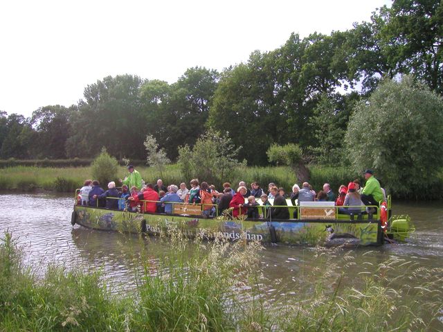
-
Godebald canoe route
Godebald canoe route
This route runs via the Kromme Rijn, Langbroekerwetering and Cothergrift. It’s under development with recreational organisations and entrepreneurs in the municipalities of Wijk bij Duurstede, Bunnik and Driebergen.
Godebald canoe route (in Dutch)