Kromme Rijn Path 29 KM OR stages of 7 KM each
- Distance
- 29 km
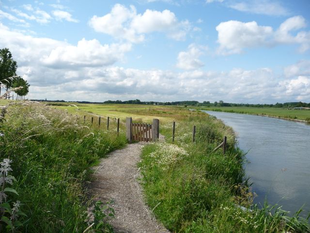
From unique flora and fauna to historic tales of the Roman Limes, the Dutch Water Line and picturesque castles and country estates – this varied walking trail has it all.
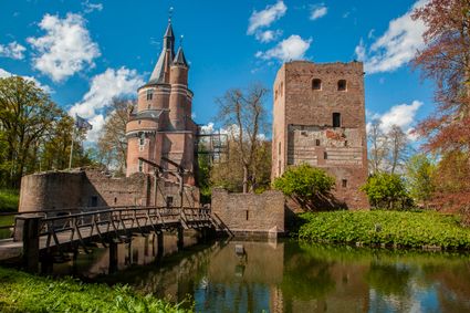
The Kromme Rijnpad is quite possibly the most beautiful trail in Utrecht. The varied route follows the course of the Kromme Rijn river and parts of an old tow path from Utrecht to Wijk bij Duurstede. Totalling 29 km in length, the route can also be split into smaller sections. Along the way, there's plenty to see and discover, with a great diversity of flora and fauna, orchards, stately country homes and parts of the Roman Limes and the New Dutch Waterline.
Locations on this route
-
84
-
83
-
41
-
82
-
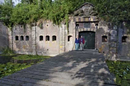
Fortresses of the four Lunetten
Fortresses of the four Lunetten (Stopover 2 )
Oude Liesbosweg 68
3524 SB Utrecht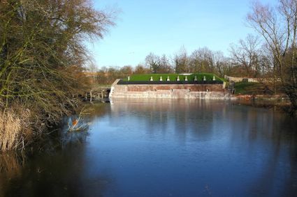
-
79
-
40
-
42
-
81
-
73
-
74
-
Theehuis Rhijnauwen
Rhijnauwenselaan 16
3981 HH Bunnik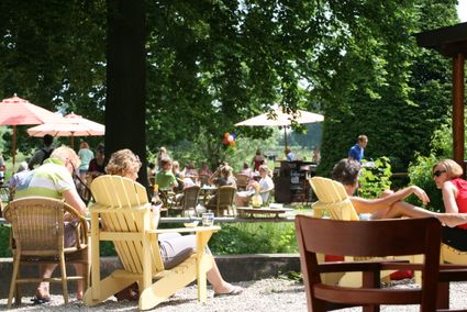
-
37
-
42
-
45
-
47
-
48
-
49
-
51
-
76
-
75
-
81
-
84
-
85
-
55
-
57
-
61
-
59
-
64
-
72
-
70
-
26
-
25
-
17
-
15
-
14
-
11
-
11
-
Kersenmuseum (cherry museum)
Kersenmuseum (cherry museum) (Stopover 5 )
Landwinkel de Kersenhut
Groenewoudseweg 18
3945 BC Cothen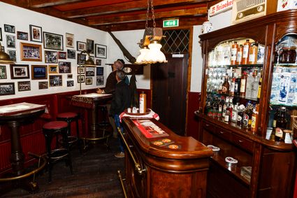
-
89
-
41
-
51
-
52
-
82
-
Inundation lock at Wijk bij Duurstede
Inundation lock at Wijk bij Duurstede (Stopover 6 )
Singel 51
3961CH Wijk bij Duurstede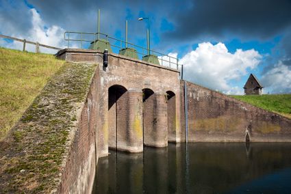
-
86
-
Molen Rijn en Lek
Molen Rijn en Lek (Stopover 7 )
Molen Rijn en Lek
Dijkstraat 23
3961 AA Wijk bij Duurstede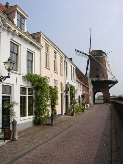
-
10
-
End point:
TOP Stadshaven Wijk bij Duurstede
Havenweg 2
3961 AW Wijk bij Duurstede
Navigate to endpoint
Directions
The entire route is signposted with markers bearing a picture of a hiker, with underneath it the trail name Kromme Rijnpad and an arrow pointing in the right direction.
This walking route is also based on junctions. The network can be recognised by the orange shields with blue numbers and arrows. Follow the numbers: 79 – 40 – 42 – 81 – 73 – 74 – 37 – 42 – 45 – 47 – 48 – 49 – 51 – 76 – 75 – 81 – 84 – 85 – 55 – 57 – 61 – 59 – 64 – 72 – 70 – 26 – 25 – 17 – 15 – 14 – 11 – 89 – 41 – 51 – 52 – 82 – 86 – 10.
You can follow the route in both directions.
End point:
TOP Stadshaven Wijk bij DuurstedeHavenweg 2
3961 AW Wijk bij Duurstede
Navigate to endpoint
- 84
- 83
- 41
- 82
- 79
- 40
- 42
- 81
- 73
- 74
- 37
- 42
- 45
- 47
- 48
- 49
- 51
- 76
- 75
- 81
- 84
- 85
- 55
- 57
- 61
- 59
- 64
- 72
- 70
- 26
- 25
- 17
- 15
- 14
- 11
- 11
- 89
- 41
- 51
- 52
- 82
- 86
- 10