Past locks and forts
- Distance
- 29 km
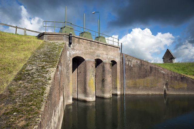
Come and be amazed by forts, trenches, dikes, locks, canals, casemates and group shelters. Together, these elements formed an ingenious system that once protected the Netherlands from enemy troops. By flooding the land to a depth of around 50 centimetres, an area could be rendered impassable for troops while also being too shallow for boats. Hop on a bike and explore this typically Dutch system of defences from the 19th and 20th century!
Locations on this route
-
Start point:
TOP Stadshaven Wijk bij Duurstede
Havenweg 1
3961 MA Wijk bij Duurstede
Navigate to starting point -
Lekdijk Wijk bij Duurstede - Amerongen
Lekdijk
Wijk bij Duurstede
-
TOP City harbour Wijk bij Duurstede
TOP City harbour Wijk bij Duurstede (Stopover 2 )
Bij stadspoort naar de haven
Havenweg
3961 AW Wijk bij Duurstede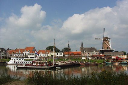
-
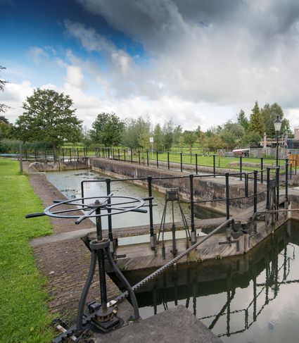
Inundation lock at Wijk bij Duurstede
Inundation lock at Wijk bij Duurstede (Stopover 3 )
Singel 51
3961CH Wijk bij Duurstede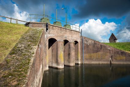
-
15
-
14
-
13
-
TOP Kersenpracht Cothen
TOP Kersenpracht Cothen (Stopover 4 )
Restaurant De Jonge Graaf
Graaf van Lynden van Sandenburgweg 2
3945 PB Cothen
-
Kersenmuseum (cherry museum)
Kersenmuseum (cherry museum) (Stopover 5 )
Landwinkel de Kersenhut
Groenewoudseweg 18
3945 BC Cothen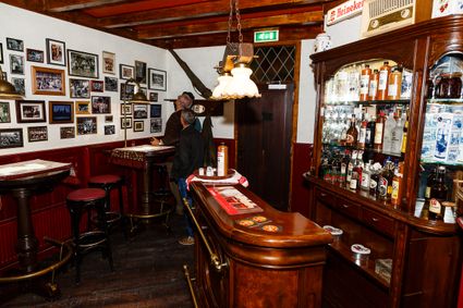
-
50
-
56
-
30
-
57
-
60
-
Molen Rijn en Weert
Werkhovenseweg 26
3985 MH Werkhoven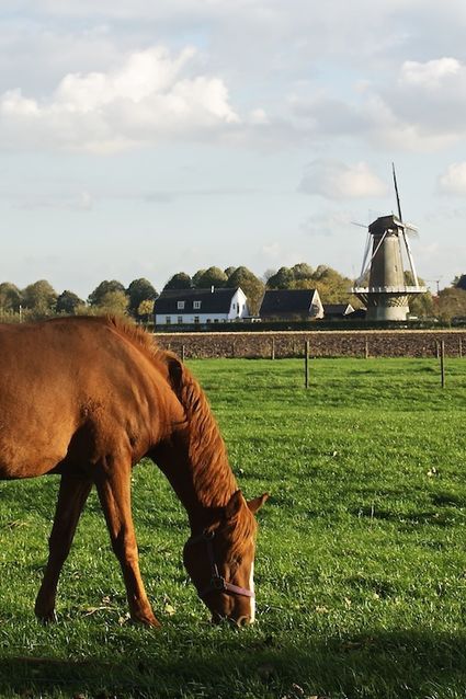
-
76
-
59
-
23
-
25
-
61
-
9
-
27
-
95
-
13
-
14
-
15
-
End point:
TOP Stadshaven Wijk bij Duurstede
Havenweg 1
3961 MA Wijk bij Duurstede
Navigate to endpoint
Directions
Start point:
TOP Stadshaven Wijk bij DuurstedeHavenweg 1
3961 MA Wijk bij Duurstede
Navigate to starting point
The route starts at one of the Tourist Transfer Points (Toeristische Overstappunten, or TOPs): The city harbour at Wijk bij Duurstede. From there, follow the junctions: 15 - 14 - 13 - 56 - 57 - 60 - 76 - 59 - 09 - 13 - 14 - 15.
End point:
TOP Stadshaven Wijk bij DuurstedeHavenweg 1
3961 MA Wijk bij Duurstede
Navigate to endpoint
- 15
- 14
- 13
- 50
- 56
- 30
- 57
- 60
- 76
- 59
- 23
- 25
- 61
- 9
- 27
- 95
- 13
- 14
- 15