Kromme Rijn path
- Distance
- 29.0 km
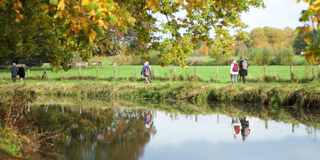
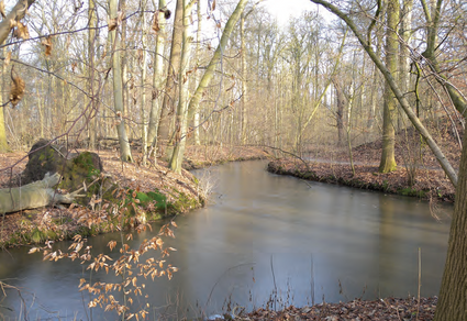
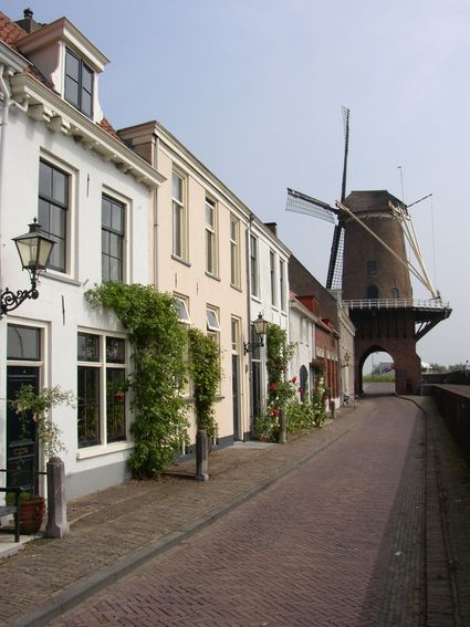
The Kromme Rijn path is a 29-km signposted hiking route between Utrecht and Wijk bij Duurstede, running largely parallel to the Kromme Rijn.
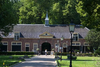
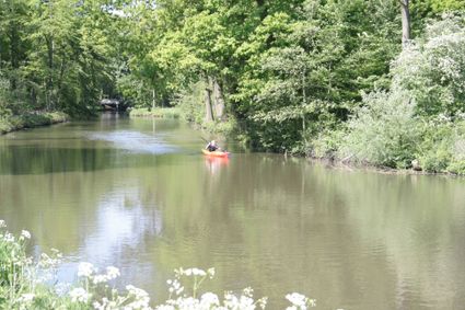
Walking along the Kromme Rijn means soaking up sights like imposing old country estates, lovely orchards, nature-friendly riverbanks teeming with flora and fauna, and – of course – the beautiful winding river itself. Come and be amazed by the tranquil beauty of the Kromme Rijn region, right in the heart of the bustling Netherlands. The path is signposted in both directions over the entire distance and has been set out in a guidebook as well. For a guidebook, visit the VVV in Wijk bij Duurstede or see below to download the digital version.
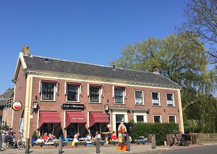
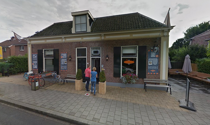
Sights on this route
Starting point: Albatrosstraat
3582 DA Utrecht
3582 DA Utrecht
1
2
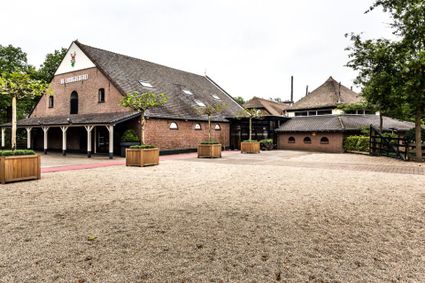
Dorpsstraat 53
3945 BK Cothen
3945 BK Cothen
3
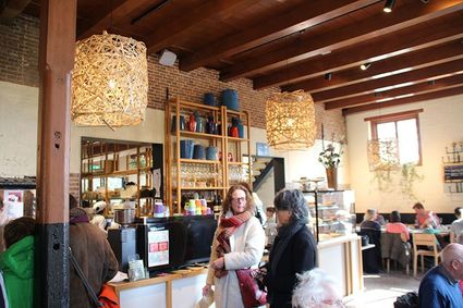
Dorpsstraat 21
3945 BJ Cothen
3945 BJ Cothen
4
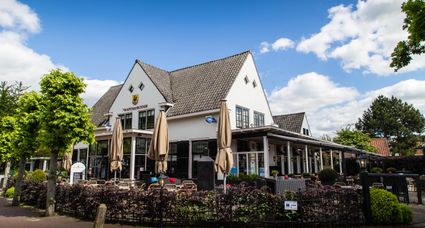
De Meent 53
3984 JH Odijk
3984 JH Odijk
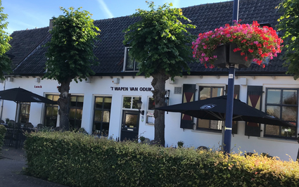
5
Dorpsstraat 9
3981 EA Bunnik
3981 EA Bunnik
6
Camminghalaan 30`
3981 CH Bunnik
3981 CH Bunnik
7
Koningslaan 11 a
3981 HD Bunnik
3981 HD Bunnik
8
9
10
End point: Langs de wal
3961 AE Wijk bij Duurstede
3961 AE Wijk bij Duurstede